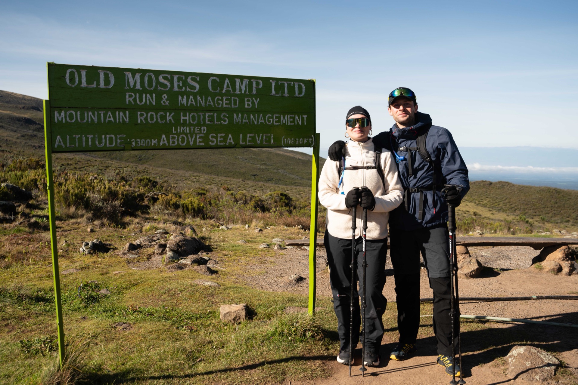
Sirimon Gate to Old Moses Hut. Forest track gives way to moorland as the trail climbs from 2,642 m to 3,365 m. The pace is deliberately slow — Day 1 is acclimatization, not distance.

The Expedition · 2–5 March 2027
Four days. 25 places. One summit at 4,985 m, all to fund critical health care in the most remote regions of Northern Kenya.
RegisterThe traverse
Four days on the mountain.
Sirimon Gate to Old Moses Hut. Forest track gives way to moorland as the trail climbs from 2,642 m to 3,365 m. The pace is deliberately slow — Day 1 is acclimatization, not distance.
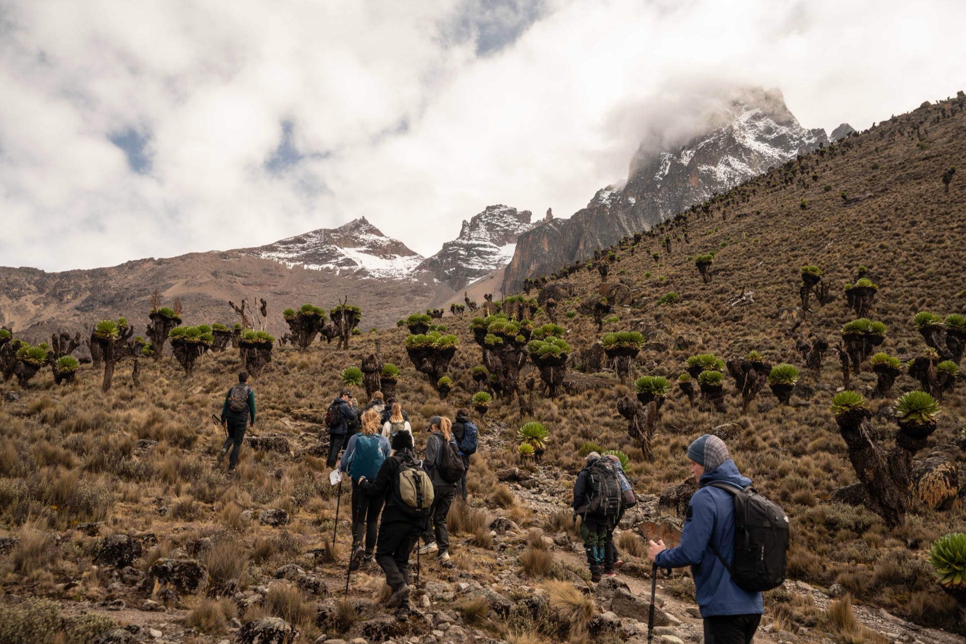
Old Moses Hut to Shipton Camp. Open moorland through Mackinder's Valley. Thinner air, slower legs. The summit ridge becomes visible by mid-afternoon.
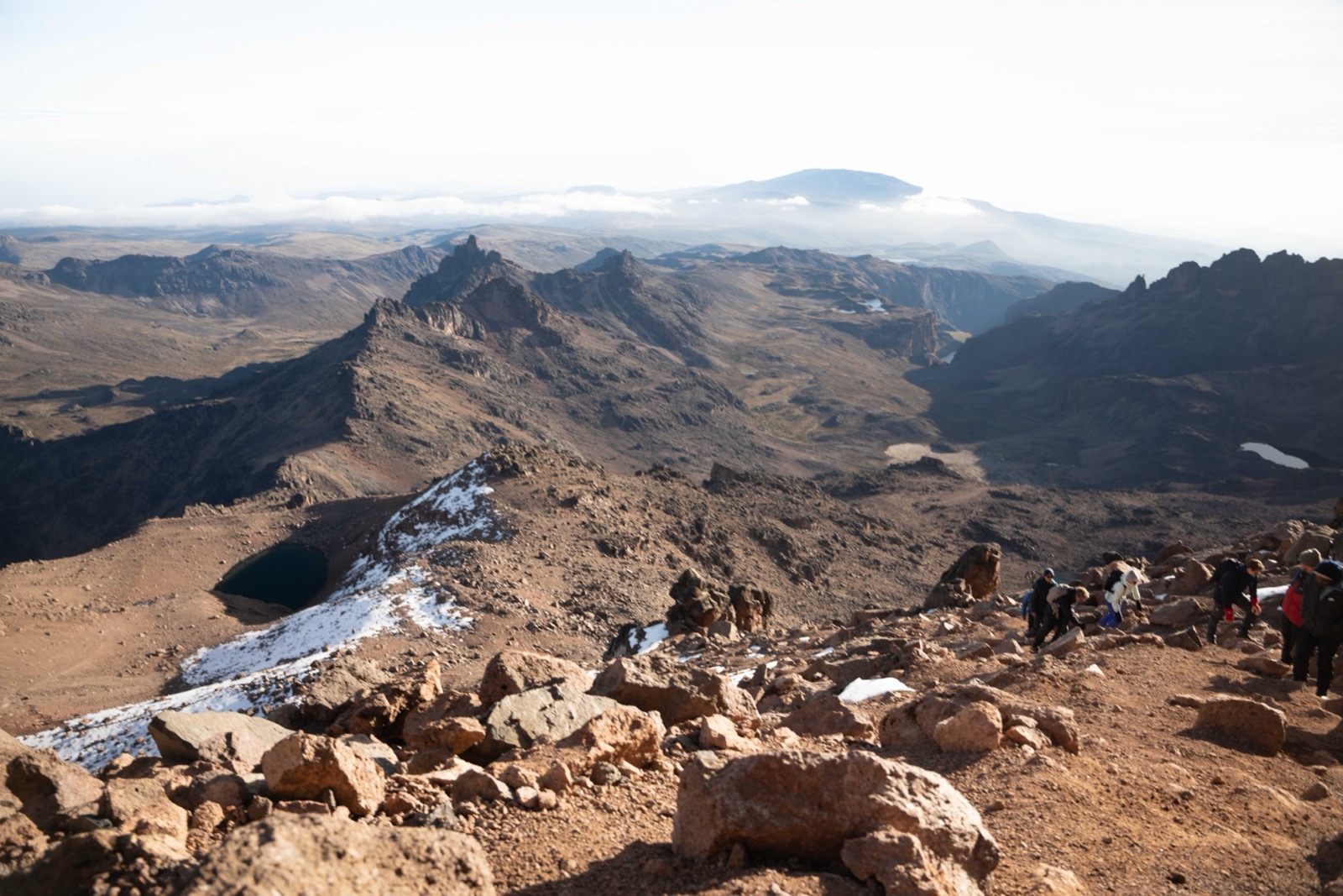
03:00 start from Shipton Camp by headlamp. 06:30 sunrise summit at Point Lenana, 4,985 m. Descend to Lake Ellis tarn and camp.
Out of the park on foot: east from Lake Ellis through high moorland and indigenous forest to Chogoria Gate, roughly 1,600 metres of descent. Walk it, or run it. Water and an aid station at the Bandas on the way down. Full detail below.
Kĩrĩnyaga
Kenya takes its name from this mountain. The Kikuyu call it Kĩrĩnyaga, the mountain of brightness, and hold it to be the earthly home of Ngai. The Kamba say Ki Nyaa, the Embu Kirinyaa, the Meru Kĩrĩmaara. Johann Ludwig Krapf was the first European to report it, in 1849, and the spelling that came back off those maps was Kenia. The country most likely took its own name from there.
In the Kikuyu account Ngai took Gikuyu to the summit to show him the land below, and told him to turn toward the mountain in times of need. Kikuyu homes are built with the doorway facing it, and in a drought people still turn that way. You will be walking over somebody else’s sacred ground, which is worth knowing before you set off.
Day 4 goes east, out of the moorland and into indigenous forest where elephant, bongo and Colobus monkey live. The side you walked in on is dry. This one is not. It is about 1,600 m down to Chogoria Gate.
Anyone who wants a harder day may run it instead, roughly 36 km, downhill the whole way. Nothing is timed and nobody is watching the clock. Most people walk, and walking is not the lesser option. If you do mean to run it, do long downhill efforts in training first and bring shoes you have already descended in.
Mount Kenya stood about 6,500 m when it formed, between 3.1 and 2.6 million years ago. Erosion has taken roughly 1,300 m off the top since. What is left standing is the hard plug from the centre of the volcano, which is why the peaks rear up so sharply out of several days of gentle moorland.
Those peaks are a rock climb. Batian, the true summit at 5,199 m, and Nelion at 5,188 m are technical ground. Point Lenana at 4,985 m is the trekking summit, and it is the one you stand on.
UNESCO lists the mountain and its forest as a World Heritage Site and describes a climate of “summer every day and winter every night”. Day 3 is exactly that: a start in the dark and the cold, and sun over the plains by the time you reach the top. Eleven glaciers are left up there, all of them retreating, within a few kilometres of the equator. The moorland you cross to reach them grows giant groundsels and lobelias that grow nowhere else on earth.
Support
A lead ranger sets the front. Nobody passes the lead ranger, walking or running. KWS handles all wildlife management inside Mount Kenya National Park.
A sweep team walks behind the last athlete. Whoever is slowest on the day still has the mountain team behind them.
Radios at the front, at the Bandas and with the sweep. A head count at each. The lead guide and the medic decide the day.
Water and an aid station at the Bandas, 2,981 m. Staffed until the last athlete is through.
A turnaround time, set on the day. The lead guide fixes it so that nobody is still in the forest after dark.
A medic at the gate. Helicopter evacuation on call through rescue.co for all four days.
The route
The aubergine line traces Days 1 to 3 (Sirimon Gate → Point Lenana → Lake Ellis). The lilac line is the Day 4 descent from Lake Ellis down through the Chogoria forest to the gate. The short dashed lilac spur joins the main trail to the Lake Ellis pin.
Sirimon's and Chogoria's forests on Mount Kenya give way to alpine moorland. Bongo, elephant, rock hyraxes, zebra, and countless others live below the snowline.
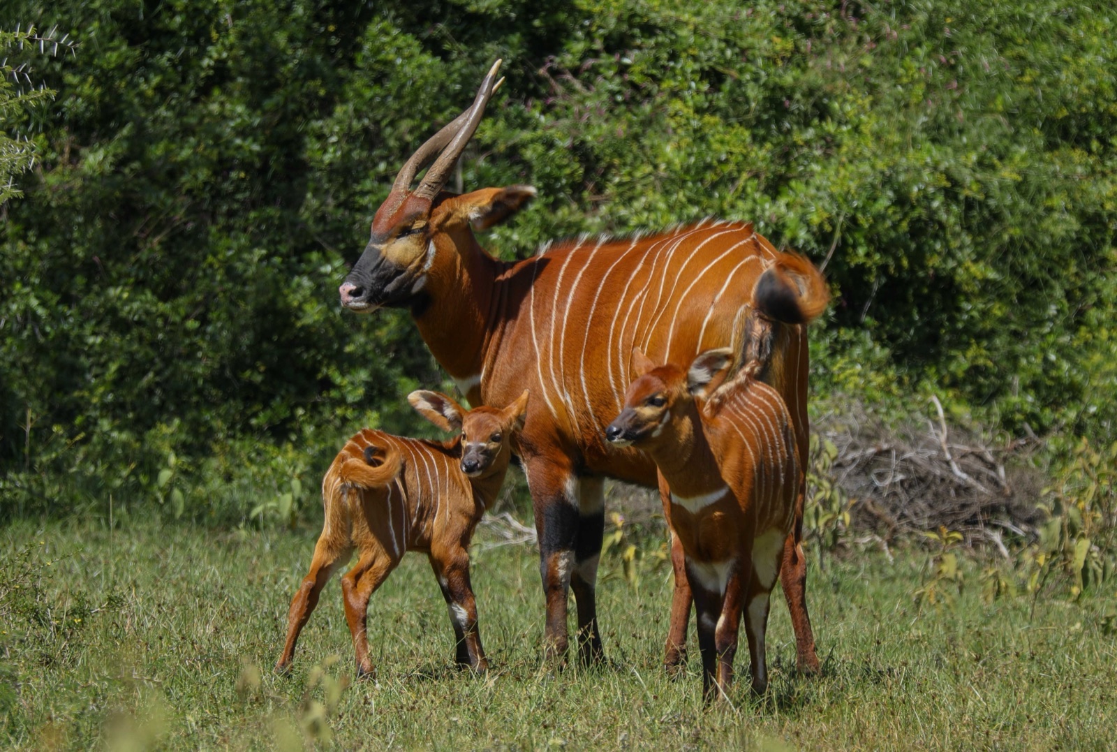
Critically endangered. Mount Kenya is one of the few places left in the wild.
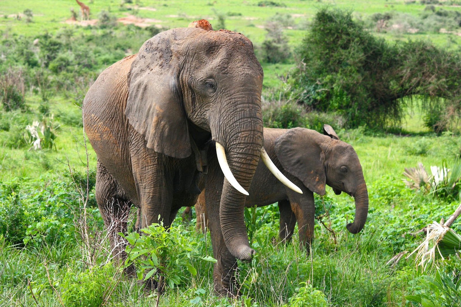
Herds graze the forests and the plains on the Sirimon and Chogoria sides of Mount Kenya.
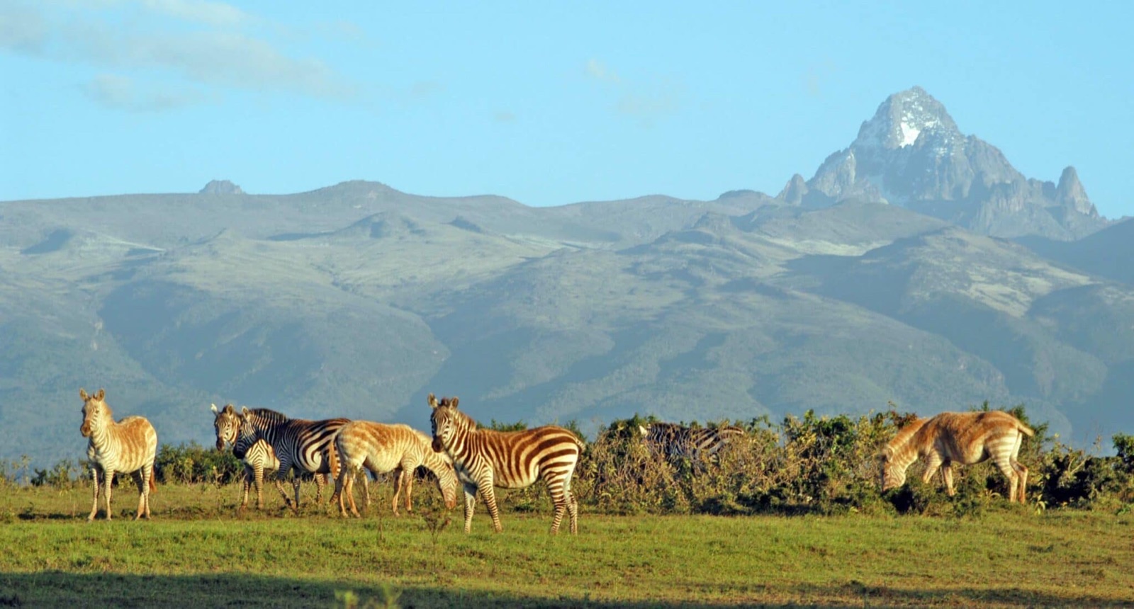
The northern slopes meet Samburu — where the zebras of two species mix.
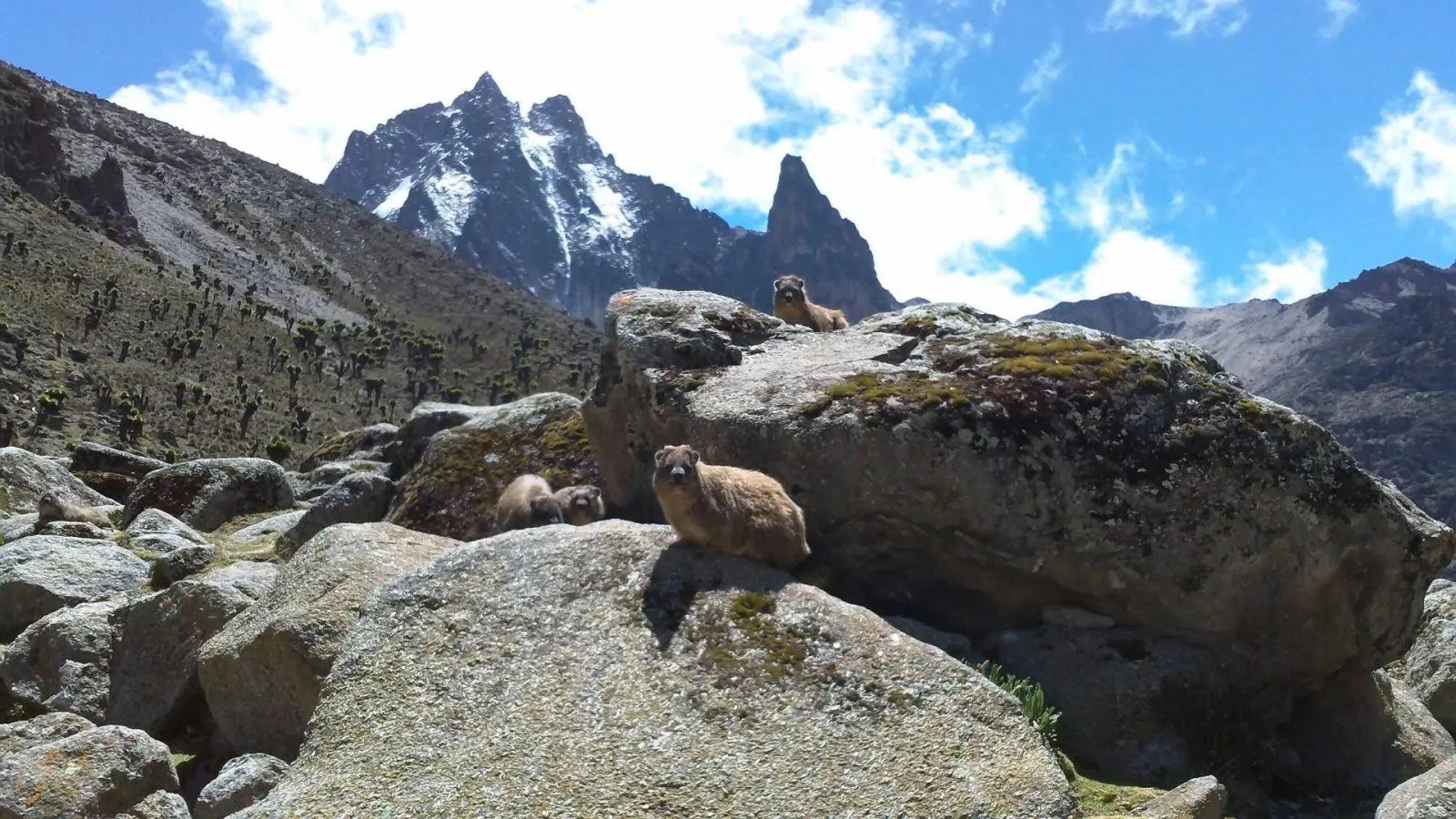
The mountain's closest relative to the elephant — found on the rocks above Shipton Camp.
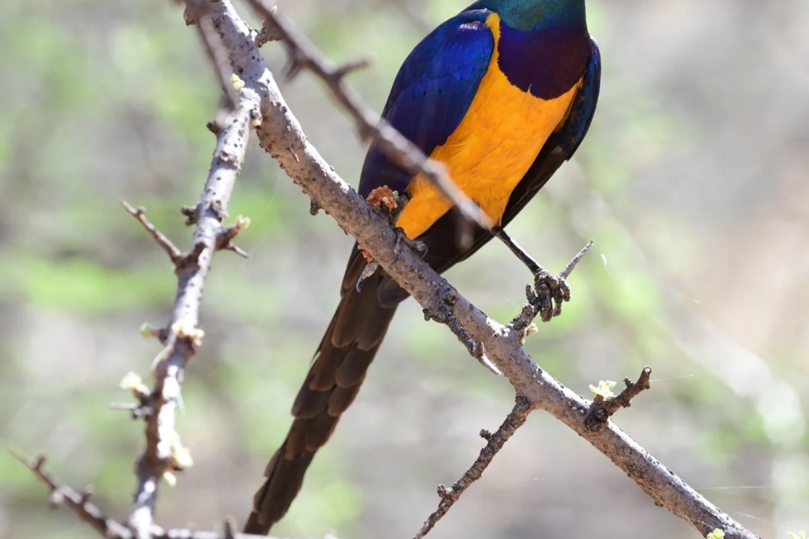
One of East Africa's most colourful birds, found on the lower slopes.
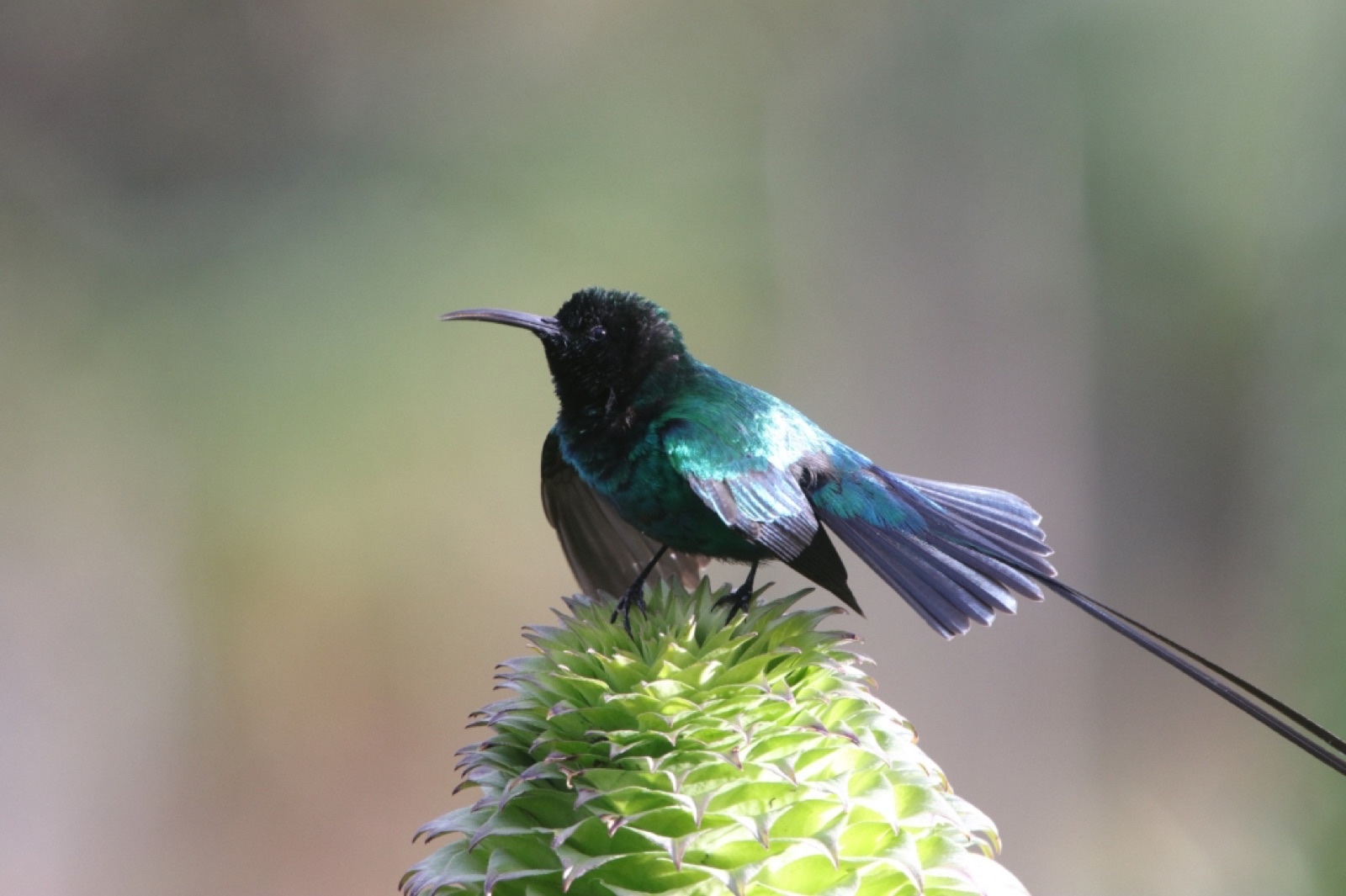
Iridescent green at altitude — feeds on the giant lobelia that lines the trails.
Safety + logistics
What to bring
A full packing list ships in the post-signup briefing. The headlines:
Rentals available on request — boots, sleeping bag, sleeping mat, trekking poles. Full kit list in the post-signup briefing.
The first edition raised €37,208 and put twelve athletes on top of Point Lenana. Every photo below is from November 2025.
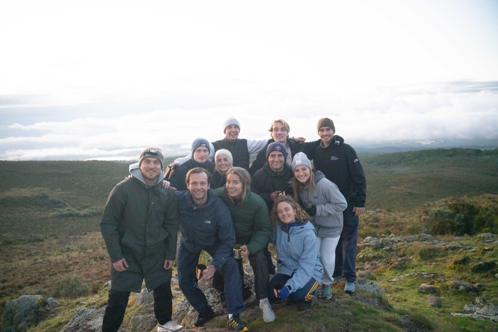
The 2025 group on the moorland, above the cloud.
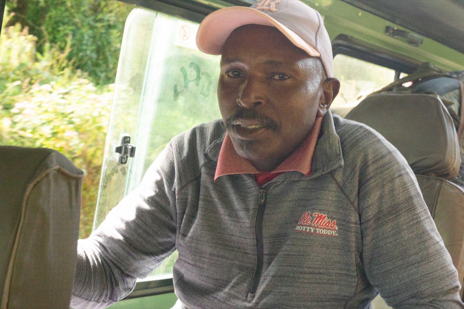
The drive to the mountain, November 2025.
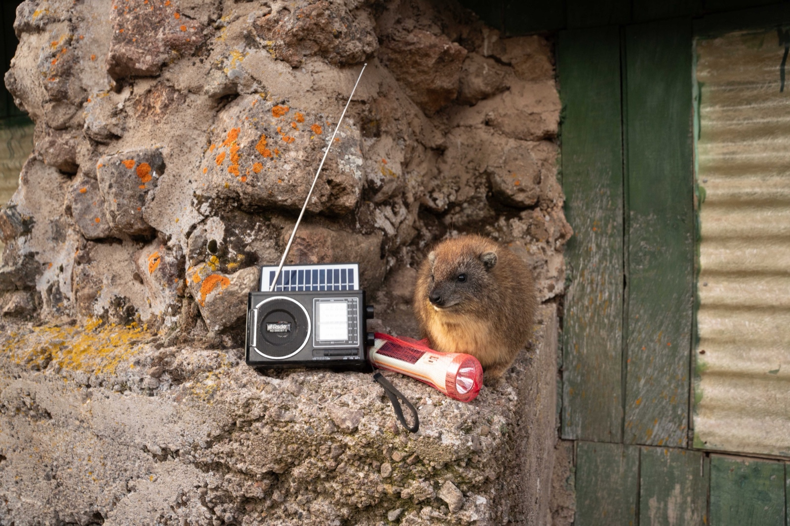
A rock hyrax at the hut, entirely unbothered.
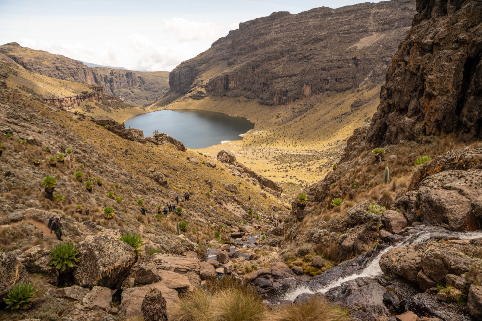
Water, groundsel and cliffs below the moorland.
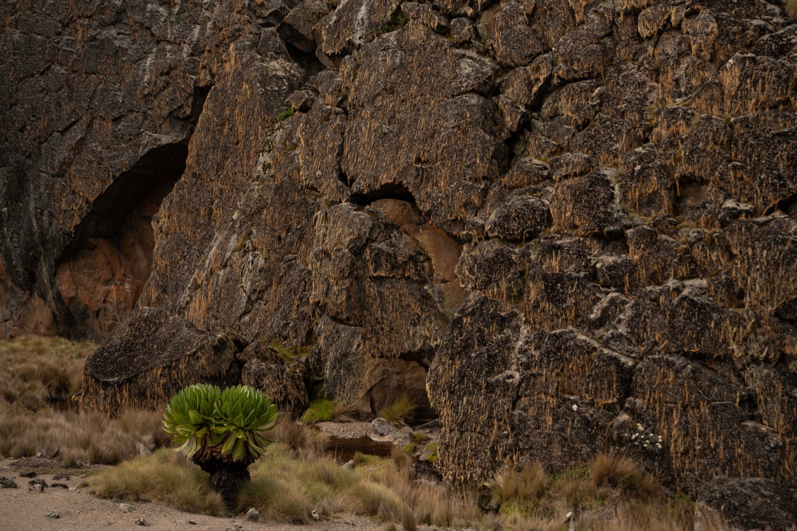
Rock and a single giant groundsel on the moorland.
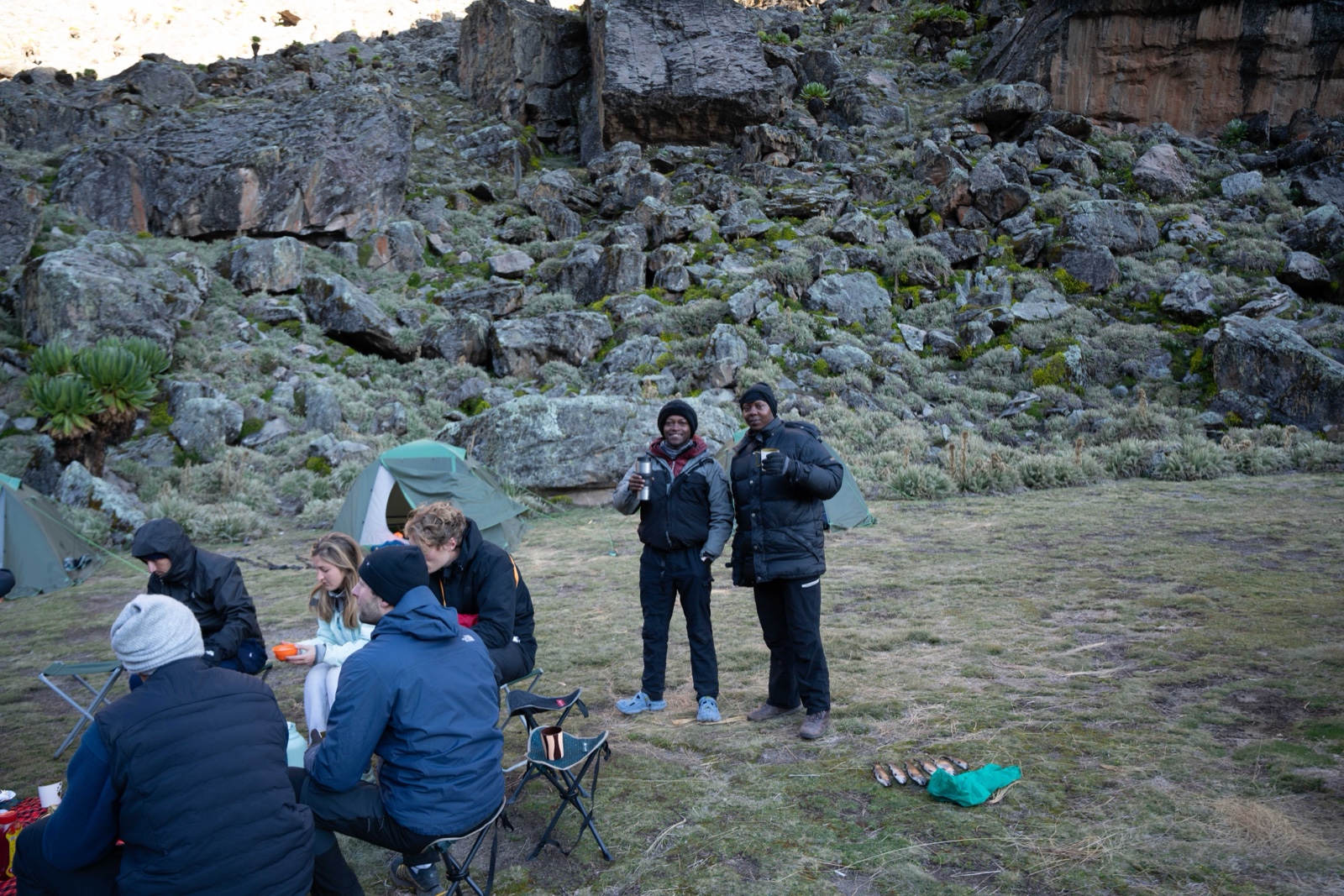
Tea with the mountain crew, November 2025.
Ready?
Sign-up closes 1 December 2026. €850 secures your place. Soft fundraising goal: €1,000 and one new partner for Health Yetu.
Register